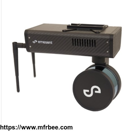
Hovermap
Specifications
Hovermap
It provides collision avoidance, GPS-denied flight, advanced autonomy and SLAM-based LiDAR mapping. This allows a Hovermap-enabled drone to be deployed in challenging GPS-denied environments, to collect 3D and other data which was previously impossible to collect. This new data in turn leads to new insights.
- Country: United States
- Business Type: industrial,Other
- Address: 420 NW 2nd St
- Contact: Air Supply


