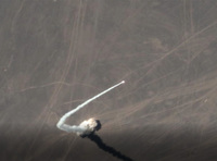
SATELLITE REMOTE SENSING IN AGRICULTURE

Product Quick Detail
- Minimum Order
- 1
- Packaging
- N/A
- Delivery
- 15 Days
Specifications
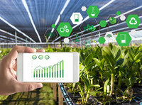
Satellite remote sensing in agriculture refers to the comprehensive technology of agricultural applications such as using agriculture satellite technology to investigate agricultural resources,
analyzing land using status, monitoring agricultural pests and diseases, as well as estimating crop yields.
CONTENT OF AGRICULTURAL REMOTE SENSING SERVICE PRODUCT SYSTEM OF CGSTL
No. Product name Service frequency
1 Distribution of cultivated land resources and agricultural facilities Once a year
2 Crop planting structure monitoring Once/crop season
3 Crop growth monitoring Once/ten days
4 Farmland soil moisture and crop drought monitoring Once/ten days
5 Agricultural disaster monitoring On demand
6 Crop yield prediction Once/crop season
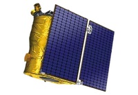
Chang Guang Satellite Technology Co., Ltd. is a satellite supplier, we provide agriculture satellite imagery, satellite imaging in agriculture, agriculture land images, agriculture satellite
images, agriculture images, satellite imagery in agriculture, satellite in agriculture, agriculture satellite data, satellite communication service, etc. For more information, please feel free to
contact us!
- Country: China (Mainland)
- Founded Year: 2014
- Address: No. 1299, Mingxi Road, Beihu Technological Development Zone, Changchun City, Jilin Province.
- Contact: jl1global com