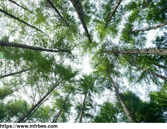
REMOTE SENSING IN FORESTRY

Product Quick Detail
- Minimum Order
- 1
- Packaging
- N/A
- Delivery
- 15 Days
Specifications
Applications of remote sensing in forestry
Remote sensing in forestry is a technology that uses the inherent characteristics of electromagnetic waves reflected or radiated by objects to identify objects and their environments by studying the characteristics of electromagnetic waves. It is called forestry remote sensing to monitor the growth of forest trees and forecast forest pests and diseases.
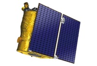
Jilin satellite, as an excellent satellite services company, offers a wide range of satellite for you to choose from.
- Country: China (Mainland)
- Founded Year: 2014
- Address: No. 1299, Mingxi Road, Beihu Technological Development Zone, Changchun City, Jilin Province.
- Contact: jl1global com